On the tarmac near Scone airport, readying to squeeze into the back of a Cessna 182 (which is a very small plane), I can see a thoroughbred galloping along a white fence on the hill, a few paddocks over.
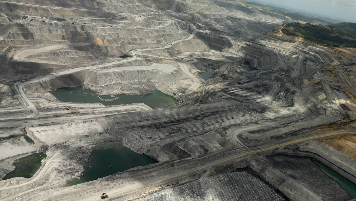
In fact, I can smell horse from where I'm standing. It seems fitting, moments before setting out for a flight over the Hunter Valley to see for myself what coal mining has made of this patch of land which has been a battleground for many years, fought over by farmers, families, tourism and vineyard operators, conservationists, and the equine industry.
Our friendly pilot, Sam Brady, has good news - the plane is good to go. The bad news is my headset is not working, so I won't know what we're flying over. Perhaps that's just as well. Otherwise, it's a perfect day for a flight.
The early morning fog has lifted, the sun has come up, and the view over the Hunter Valley is spectacular. Rolling green hills, carefully carved-out paddocks, oases of trees, little rivers and dams.
